
Read the West Virginia Parcel Map
Layers in the WV Property Viewer come from different custodians on different update cycles. The tax parcel polygons sit at the center. Context layers surround them. Start with the parcel outline. Then switch on only what the question needs. Statewide layers promise no county zoning or utility detail; a local GIS may add those subjects. When a map gets saved or compared with a deed, note each layer name, its source, and its update note.
| Layer | What it shows | Useful for |
|---|---|---|
| Surface parcels | Tax parcel polygons, identifiers, and a link to property information. | Finding the parcel and its key; not deciding a legal line. |
| Property information | Owner, physical address, legal description, values, and an assessment link. | Opening the parcel detail and matching it to the tax record. |
| E-911 address points | Address points supplied through the statewide addressing system. | Matching an on-the-ground address to a mapped parcel. |
| Flood zones | Flood-hazard context or a link to the relevant flood tool. | Flagging a question that needs confirmation with the source agency. |
| Roads, terrain, imagery | Basemap and landscape context; source and image date can vary. | Orienting the parcel and viewing nearby physical features. |
| Delinquent lands | Auditor-linked parcels where the layer is available. | Finding a lead that must be checked in the live Auditor record. |
The viewer offers a basic result row and a detail card. Several owners can exist while the display shows one. For matching a recorded plat, the card's legal description beats the drawn polygon every time. The WV Property Viewer is the place to start.
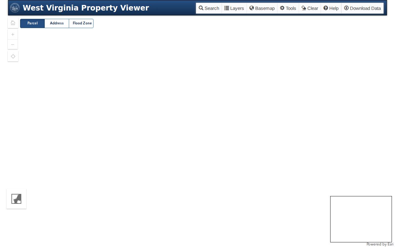
The WV Property Viewer opens with parcel, address, and flood search tabs. A blank map at first load means little. Coverage is fine. Choose a search mode, locate a result, and the parcel lines follow.
WV Parcel Viewer Search Fields
Search behavior depends on the selected mode. E-911 Address draws on SAMS. Owner and parcel searches draw on Integrated Assessment System data. A postal label may not match an E-911 address at all. A rural route or P.O. box may not either. When an address will not land on the parcel, try the street-name mode. Then confirm the returned card against the county assessment record.
| Mode or field | What to enter | Format or limit |
|---|---|---|
| E-911 Address | Street address, city, and WV abbreviation. | Choose the autocomplete result; rural routes and P.O. boxes are not supported in this mode. |
| Full Parcel ID | Complete parcel identifier. | Hyphens may be present or omitted; preserve the printed key. |
| County and search type | Choose a county and parcel number, property owner, or property address. | County is required for parcel attributes; guided search needs a search type. |
| Owner name | Name in the owner mode. | Partial matching is allowed; enter LASTNAME FIRSTNAME. |
| Street address | Street name or property address. | IAS address data can be incomplete; street name may work better. |
| District, map, parcel, suffix | Parcel-number parts. | District is county-specific; map, parcel, and suffix narrow the result. |
| Geometry method and buffer | Point, rectangle, polygon, or a point with a distance buffer. | Geometry results are capped at 1,000; use them as candidates, not a title list. |
| Coordinates and export | Latitude/longitude for coordinate mode; CSV export for visible results. | Export depends on the current result table; result rows can be limited to 1,000. |
Viewer help says a result can be hovered to highlight its parcel and clicked to zoom or open basic information. Some rows carry no matching geometry. The interface can warn when that happens. Treat a result row as a cross-reference, never as a substitute for the detail card or the county record.
West Virginia Parcel ID Format
A statewide tax parcel key assembles four parts: district, map, parcel, and suffix. The standard display pads every segment with leading zeros. Two digits go to the district. Four go to each map, parcel, and suffix segment. When a system shows both forms, keep the hyphenated key and the continuous root ID. Drop a leading digit or a suffix, and the key can point at a different assessment row.
State GIS metadata also defines a logical sequence: county, district, map, parcel-prefix, parcel-suffix, and special ID. Fields like Parcel Identifier, CleanParcelID, GISPID, Property Owner, Legal Description, and County Code tie an assessment summary to its geometry. Remember these are system keys. Neighborhood names they are not. One community can span several districts and maps. One district can hold land inside and outside a municipal boundary.
A split or merge changes the map row. Compare the new key against the deed's legal description and prior parcel history before assuming anything. A partial conveyance can leave the parent tract description in the deed even as the assessor opens a new suffix or parcel row. The deed boundary may not have moved at all.
Note: Keep county, district, map, parcel, and suffix together when asking an assessor to trace a parcel through an older map or split.
Use WV Parcel Map Geometry Tools
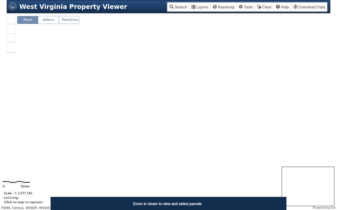
Geometry search shines when an address is shaky. The viewer accepts a point, a rectangle, or a polygon, plus a buffer around either. Its help documents identify and click tools, measure, print, share, bookmark, drawing, basemap selection, and a KMZ download. Identify turns useful near scale 1:18,056. Parcel lines appear there. Zoom first, then select.
The WV Property Viewer map shows the tools toolbar and a prompt to zoom in before selecting parcels; the help documents geometry and buffer search. Draw a shape or use a buffer. Then open each parcel on its own. The viewer documents no topology-certified report of every parcel touching a subject property. For adjacent-parcel work, continue with the West Virginia neighbor lookup steps. Compare candidate lots with the plat.
Geometry results export as a visible CSV, subject to a query limit and the source date. Measure is a map tool, not a survey. Temporary drawing or text marks never become official record evidence.
Download the WV Surface Parcel File
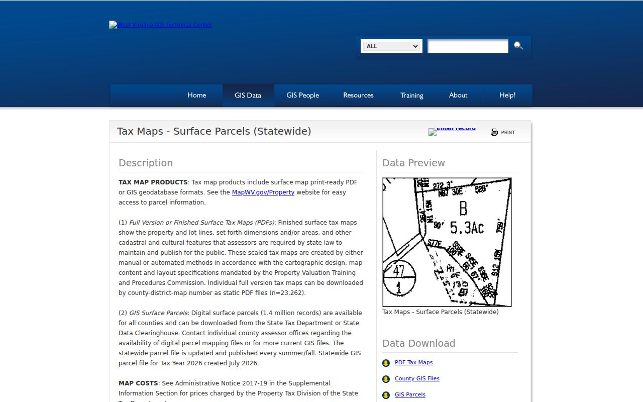
The WV GIS Technical Center's Clearinghouse publishes statewide surface-parcel data, metadata, and services. Dataset 371 covers about 1.4 million records. Release is annual, in summer or fall. The Tax Year 2026 file was created in July 2026. Formats include an ESRI geodatabase, shapefiles, PDF, and TIFF. The geodatabase exceeds 500 MB. Check the current download package and metadata before choosing a format.
The State GIS Clearinghouse parcel dataset page names source attributes such as parcel ID, owner, legal description, and county code. The same page serves the statewide surface tax-map download. File choices sit beside each format.
The statewide surface parcel file serves GIS research and map context. It is not a title search. County assessors and the state Tax and Revenue agency supply the underlying data, so each extract keeps its own tax year, source date, and metadata. Because a local edit can post after the annual state geodatabase was built, a newer assessor change may not show there yet.
Find a WV Parcel's Recorded Plat
A GIS parcel and a recorded plat answer different boundary questions. One shows tax geography. The other carries legal geometry. Urban deeds usually describe a lot, block, addition or phase, plus a plat-book page. Rural deeds lean on acreage, streams, roads, survey calls, parent tracts, coal or mineral reservations, and easements. For a subdivision lot's recorded geometry and access language, the county clerk's recorded plat is the source of record. The assessor's tax parcel may follow that plat imperfectly.
Begin with the subdivision name. Then find the plat book or page named in the legal description. Ask the county clerk for that recorded plat. If the map and deed disagree, check later re-plats, vacation instruments, and lot-split records. Surface tax maps are sold or supplied through the 55 county assessor offices. The assessor roster routes you to the local counter. Staff there can explain a missing map line or hand over a full-version PDF. County GIS layers sometimes carry faster attribute updates than the statewide display.
When a layer or map file is not online, send its custodian a specific request. Name the county, district, map, file format, metadata, and update date. Ask for an existing record. Ask staff to run a new boundary analysis only if you truly need one. That is not a routine records duty.
Why West Virginia Map Lines Lag
Map lines age unevenly across the state. Some counties still keep parcel geometry on paper. Some send updates on their own schedule rather than the state's. The statewide viewer's FAQ is blunt about this. Parcel lines may be missing or lag by several years in paper-based counties. If a transfer-line change has not shown up after two years, the FAQ says to contact the assessor. A county assessor's GIS layer can carry a newer edit, since the statewide dataset publishes once a year. Note the layer name and update note before comparing two views.
Surface parcels and mineral interests can tell different stories too. The statewide property viewer centers on surface property. The Auditor's delinquent-land information notes that mineral interests may require the Mined Mineral GIS section. A split recorded in a county court record may take time to reach the annual state file. None of this means a deed or a mineral reservation vanished. It is simply a limit of the data source.
To fix a parcel line, contact the county assessor. Bring the full parcel key and the recorded document reference. For a legal boundary, start from the recorded deed and plat. Then ask a licensed surveyor to place the line on the ground. The State GIS Technical Center also serves the public through its ArcGIS REST directory. Keep the service metadata with any feature set you download.
Find a West Virginia Parcel by Address
Treat the physical location and the tax key as separate clues when searching by address. A situs address tells you where a parcel or structure sits. An owner's mailing address may be off-site or a substitute address entirely. The legal description is what actually identifies the land. It may rely on lot and block, a plat, metes and bounds, acreage, or a parcel-map key. Two quirks complicate address searches. An older deed may carry no modern street number. An E-911 point can exist before the assessor ties it to a parcel.
- Choose E-911 Address for a known street address, or use the county and property-address mode for an IAS search.
- If the house number fails, try the street name and compare nearby result rows.
- Open the parcel detail and write down the full parcel ID and legal description.
- Use the ID to check the local assessor card, then use the clerk's recorded plat or deed if the legal boundary matters.
- Parcel ID / APN
- The county's tax-map identifier made from district, map, parcel, and suffix segments.
- Plat
- A recorded map of a subdivision or lot arrangement held with land records.
- Lot and block
- A platted land description tied to a subdivision, phase, lot, and block.
- Metes and bounds
- A deed description that uses courses, distances, calls, and physical references to describe land.
- Easement
- A recorded right to use land for a stated purpose; the GIS line alone does not establish its terms.
Note: A mailing ZIP or postal city does not decide which West Virginia county holds the parcel record.
What West Virginia Parcel Maps Cannot Prove
Tax maps exist for assessment work. They are compiled from available record evidence and have never been field verified. State metadata states plainly that they are not valid survey plats. It also notes that the state and county assessor accept no liability for their use. A parcel-map line is a practical reference for finding a tax record. It cannot settle a fence dispute. It cannot reveal every easement or fix the exact legal boundary on the ground.
Use each source for its own job. Let the GIS identify the parcel. Let the clerk's recorded plat and deed supply the legal description. Bring in a licensed surveyor whenever a boundary decision depends on a measured location. A print or KMZ from the viewer stays a reference product. It remains so even with a scale or measurement tool built in.
Map line warning. West Virginia parcel maps are tax and reference layers, not a boundary survey. Check the recorded plat and use a licensed surveyor when a legal line must be located.